Looking north from the Halfpenny Bridge
Introduction
The photograph on this page of Looking north from the Halfpenny Bridge by Penny Mayes as part of the Geograph project.
The Geograph project started in 2005 with the aim of publishing, organising and preserving representative images for every square kilometre of Great Britain, Ireland and the Isle of Man.

There are currently over 7.5m images from over 14,400 individuals and you can help contribute to the project by visiting https://www.geograph.org.uk
Looking north from the Halfpenny Bridge
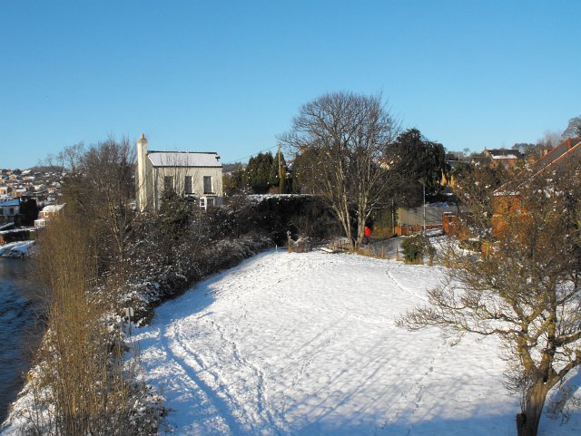
Image: © Penny Mayes Taken: 7 Jan 2010
Edwards Fields on the right, the person in red is standing at the junction of Golwgydre Lane and New Path (as it is called on the 1885 town plan). The white house is Mount Pleasant.
Images are licensed for reuse under creativecommons.org/licenses/by-sa/2.0
Image Location
Latitude
52.516254
Longitude
-3.312688