Near Marlow Station
Introduction
The photograph on this page of Near Marlow Station by Des Blenkinsopp as part of the Geograph project.
The Geograph project started in 2005 with the aim of publishing, organising and preserving representative images for every square kilometre of Great Britain, Ireland and the Isle of Man.

There are currently over 7.5m images from over 14,400 individuals and you can help contribute to the project by visiting https://www.geograph.org.uk
Near Marlow Station
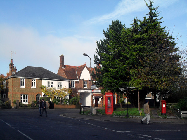
Image: © Des Blenkinsopp Taken: 20 Nov 2010
The corner of Station Road and Lock Road outside the Marlow Donkey pub.
Images are licensed for reuse under creativecommons.org/licenses/by-sa/2.0
Image Location
Latitude
51.571533
Longitude
-0.768292