Christ Church Flats, Kew Road
Introduction
The photograph on this page of Christ Church Flats, Kew Road by Stephen Craven as part of the Geograph project.
The Geograph project started in 2005 with the aim of publishing, organising and preserving representative images for every square kilometre of Great Britain, Ireland and the Isle of Man.

There are currently over 7.5m images from over 14,400 individuals and you can help contribute to the project by visiting https://www.geograph.org.uk
Christ Church Flats, Kew Road
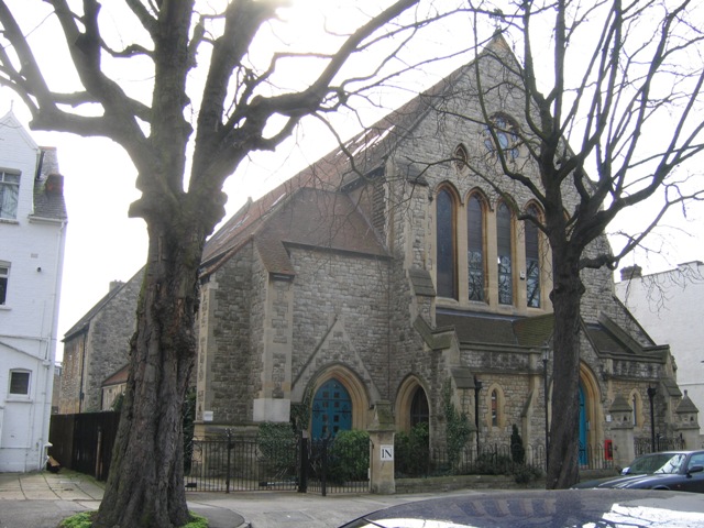
Image: © Stephen Craven Taken: 15 Mar 2006
Christ Church (Anglican) was closed in 1986 and converted to flats.
Images are licensed for reuse under creativecommons.org/licenses/by-sa/2.0
Image Location
Latitude
51.467248
Longitude
-0.29586