Looking north east down the valley of Walden Beck
Introduction
The photograph on this page of Looking north east down the valley of Walden Beck by C P Smith as part of the Geograph project.
The Geograph project started in 2005 with the aim of publishing, organising and preserving representative images for every square kilometre of Great Britain, Ireland and the Isle of Man.

There are currently over 7.5m images from over 14,400 individuals and you can help contribute to the project by visiting https://www.geograph.org.uk
Looking north east down the valley of Walden Beck
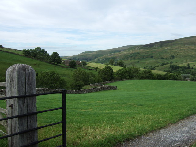
Image: © C P Smith Taken: 15 Jul 2010
This picture was taken from the point where the track to Cowstone Gill House and Harstone House leaves the road from West Burton.
Images are licensed for reuse under creativecommons.org/licenses/by-sa/2.0
Image Location
Latitude
54.25069
Longitude
-1.980167