Back Street, Renton
Introduction
The photograph on this page of Back Street, Renton by Lairich Rig as part of the Geograph project.
The Geograph project started in 2005 with the aim of publishing, organising and preserving representative images for every square kilometre of Great Britain, Ireland and the Isle of Man.

There are currently over 7.5m images from over 14,400 individuals and you can help contribute to the project by visiting https://www.geograph.org.uk
Back Street, Renton
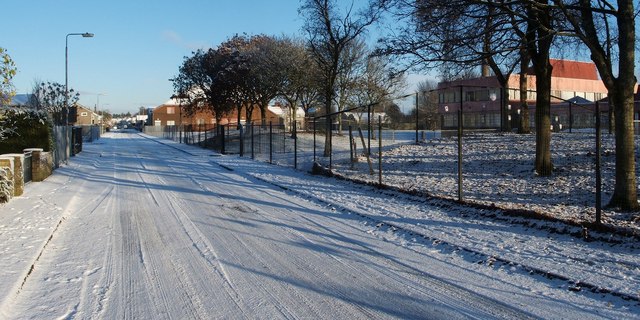
Image: © Lairich Rig Taken: 11 Nov 2010
The large building on the right is Image, whose grounds are behind the fence; in the 1970s, it replaced the previous school building, which stood on the site of the present-day school pitch. The first turning on the left leads into Image For a view along the same section of the street, but in the opposite direction, see Image See also Image, which was taken from a point further north along the street, looking in the opposite direction.
Images are licensed for reuse under creativecommons.org/licenses/by-sa/2.0
Image Location
Latitude
55.969818
Longitude
-4.585283