After the harvest, Smeatonwood Farm
Introduction
The photograph on this page of After the harvest, Smeatonwood Farm by Espresso Addict as part of the Geograph project.
The Geograph project started in 2005 with the aim of publishing, organising and preserving representative images for every square kilometre of Great Britain, Ireland and the Isle of Man.

There are currently over 7.5m images from over 14,400 individuals and you can help contribute to the project by visiting https://www.geograph.org.uk
After the harvest, Smeatonwood Farm
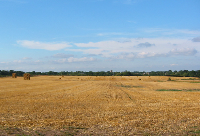
Image: © Espresso Addict Taken: 14 Aug 2006
View north across a large gently rolling field towards Wrenbury village, from Pinsley Green Road just west of Smeatonwood Farm. Wrenbury church is just visible on the horizon (centre) (see also Image)
Images are licensed for reuse under creativecommons.org/licenses/by-sa/2.0
Image Location
Latitude
53.01334
Longitude
-2.609576