End of the footpath, Cosmeston, Penarth
Introduction
The photograph on this page of End of the footpath, Cosmeston, Penarth by Jaggery as part of the Geograph project.
The Geograph project started in 2005 with the aim of publishing, organising and preserving representative images for every square kilometre of Great Britain, Ireland and the Isle of Man.

There are currently over 7.5m images from over 14,400 individuals and you can help contribute to the project by visiting https://www.geograph.org.uk
End of the footpath, Cosmeston, Penarth
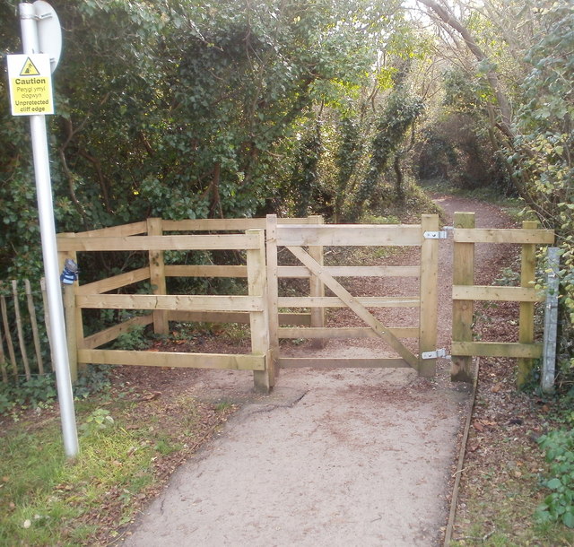
Image: © Jaggery Taken: 24 Nov 2010
A cliff top footpath http://www.geograph.org.uk/photo/2192841 ends at the gate. The sign on the left warns that the track ahead is near an unprotected cliff edge. The track leads to Lavernock Point, http://www.geograph.org.uk/photo/64941 about 1500 metres away.
Images are licensed for reuse under creativecommons.org/licenses/by-sa/2.0
Image Location
Latitude
51.417748
Longitude
-3.171962