Hawtonville: Windsor Road
Introduction
The photograph on this page of Hawtonville: Windsor Road by John Sutton as part of the Geograph project.
The Geograph project started in 2005 with the aim of publishing, organising and preserving representative images for every square kilometre of Great Britain, Ireland and the Isle of Man.

There are currently over 7.5m images from over 14,400 individuals and you can help contribute to the project by visiting https://www.geograph.org.uk
Hawtonville: Windsor Road
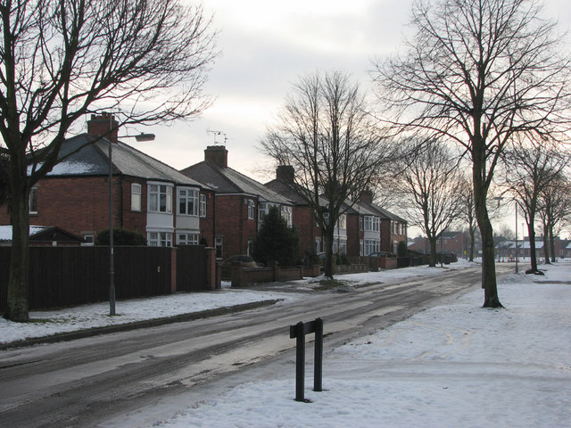
Image: © John Sutton Taken: 10 Dec 2010
South Newark in the bleak mid winter - a very icy day in December, with perilous pavements. Hawtonville is a very early estate, dating from 1919-20.
Images are licensed for reuse under creativecommons.org/licenses/by-sa/2.0
Image Location
Latitude
53.066322
Longitude
-0.811596