Meadow, Shalford
Introduction
The photograph on this page of Meadow, Shalford by Paul E Smith as part of the Geograph project.
The Geograph project started in 2005 with the aim of publishing, organising and preserving representative images for every square kilometre of Great Britain, Ireland and the Isle of Man.

There are currently over 7.5m images from over 14,400 individuals and you can help contribute to the project by visiting https://www.geograph.org.uk
Meadow, Shalford
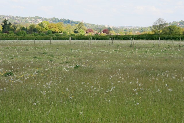
Image: © Paul E Smith Taken: 15 May 2010
This view is taken from where the North Downs Way takes a 90 degree turn and looks across meadows towards a gap in the North Downs forged by the River Wey, probably the most important reason for Guildford's location.
Images are licensed for reuse under creativecommons.org/licenses/by-sa/2.0
Image Location


Leaflet Map data © OpenStreetMap
Latitude
51.210714
Longitude
-0.558612