Radyr weir Cardiff
Introduction
The photograph on this page of Radyr weir Cardiff by Jaggery as part of the Geograph project.
The Geograph project started in 2005 with the aim of publishing, organising and preserving representative images for every square kilometre of Great Britain, Ireland and the Isle of Man.

There are currently over 7.5m images from over 14,400 individuals and you can help contribute to the project by visiting https://www.geograph.org.uk
Radyr weir Cardiff
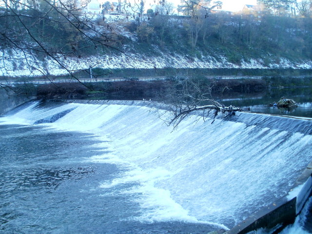
Image: © Jaggery Taken: 29 Nov 2010
Viewed in lengthening shadows on an afternoon in late November. The original weir was built here in 1774 to provide water along a feeder stream http://www.geograph.org.uk/photo/2191379 to power the Melingriffith Tinplate Works.
Images are licensed for reuse under creativecommons.org/licenses/by-sa/2.0
Image Location
Latitude
51.518495
Longitude
-3.255258