House under the dam
Introduction
The photograph on this page of House under the dam by Trevor Rickard as part of the Geograph project.
The Geograph project started in 2005 with the aim of publishing, organising and preserving representative images for every square kilometre of Great Britain, Ireland and the Isle of Man.

There are currently over 7.5m images from over 14,400 individuals and you can help contribute to the project by visiting https://www.geograph.org.uk
House under the dam
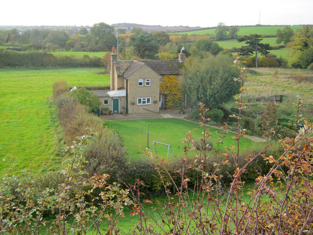
Image: © Trevor Rickard Taken: 30 Oct 2010
Looking south-west from the Reservoir Road embankment which makes up the dam for Thornton Reservoir. This lone house literally sits in the shadow of the dam. On the right lie the foundations of the old waterworks.
Images are licensed for reuse under creativecommons.org/licenses/by-sa/2.0
Image Location
Latitude
52.660275
Longitude
-1.300345