Ringland Way approaches Hartridge roundabout, Newport
Introduction
The photograph on this page of Ringland Way approaches Hartridge roundabout, Newport by Jaggery as part of the Geograph project.
The Geograph project started in 2005 with the aim of publishing, organising and preserving representative images for every square kilometre of Great Britain, Ireland and the Isle of Man.

There are currently over 7.5m images from over 14,400 individuals and you can help contribute to the project by visiting https://www.geograph.org.uk
Ringland Way approaches Hartridge roundabout, Newport
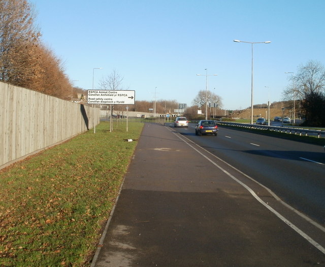
Image: © Jaggery Taken: 5 Dec 2010
The view NE along the A48, here named Ringland Way. At the roundabout ahead, turn right for Hartridge Farm Road leading to: Hartridge High School http://www.geograph.org.uk/photo/2176615 Ysgol Gymraeg Casnewydd http://www.geograph.org.uk/photo/2176591 RSPCA Animal Centre http://www.geograph.org.uk/photo/2176829 Road Safety Centre http://www.geograph.org.uk/photo/2176759 The wooden fence http://www.geograph.org.uk/photo/2189199 on the left is intended to shield houses from the noise of the A road.
Images are licensed for reuse under creativecommons.org/licenses/by-sa/2.0
Image Location
Latitude
51.58529
Longitude
-2.939557