Inchmagrannachan
Introduction
The photograph on this page of Inchmagrannachan by Rob Burke as part of the Geograph project.
The Geograph project started in 2005 with the aim of publishing, organising and preserving representative images for every square kilometre of Great Britain, Ireland and the Isle of Man.

There are currently over 7.5m images from over 14,400 individuals and you can help contribute to the project by visiting https://www.geograph.org.uk
Inchmagrannachan
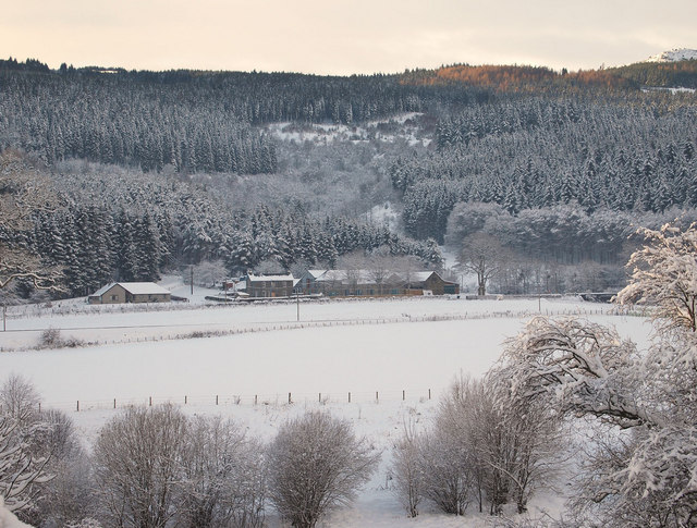
Image: © Rob Burke Taken: 4 Dec 2010
The farm is set under the slope of Craigvinean Forest. The snowy top of Creag an Uamhaidh can just be seen on the extreme right of the picture.
Images are licensed for reuse under creativecommons.org/licenses/by-sa/2.0
Image Location
Latitude
56.581395
Longitude
-3.627931