Brookstray, Mount Nod
Introduction
The photograph on this page of Brookstray, Mount Nod by E Gammie as part of the Geograph project.
The Geograph project started in 2005 with the aim of publishing, organising and preserving representative images for every square kilometre of Great Britain, Ireland and the Isle of Man.

There are currently over 7.5m images from over 14,400 individuals and you can help contribute to the project by visiting https://www.geograph.org.uk
Brookstray, Mount Nod
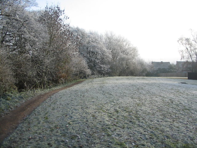
Image: © E Gammie Taken: 6 Dec 2010
A narrow strip of green runs alongside the brook behind Nod Rise. A mixed day of heavy frost, fog and bright sunlight.
Images are licensed for reuse under creativecommons.org/licenses/by-sa/2.0
Image Location


Leaflet Map data © OpenStreetMap
Latitude
52.411992
Longitude
-1.568026