Newport : Ringland Circle viewed from the corner of Aberthaw Road
Introduction
The photograph on this page of Newport : Ringland Circle viewed from the corner of Aberthaw Road by Jaggery as part of the Geograph project.
The Geograph project started in 2005 with the aim of publishing, organising and preserving representative images for every square kilometre of Great Britain, Ireland and the Isle of Man.

There are currently over 7.5m images from over 14,400 individuals and you can help contribute to the project by visiting https://www.geograph.org.uk
Newport : Ringland Circle viewed from the corner of Aberthaw Road
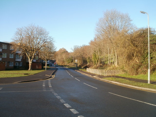
Image: © Jaggery Taken: 5 Dec 2010
Ringland Circle passes the edge of Ringland Wood, on the right.
Images are licensed for reuse under creativecommons.org/licenses/by-sa/2.0
Image Location
Latitude
51.587964
Longitude
-2.942499