Shelley Road
Introduction
The photograph on this page of Shelley Road by Simon Carey as part of the Geograph project.
The Geograph project started in 2005 with the aim of publishing, organising and preserving representative images for every square kilometre of Great Britain, Ireland and the Isle of Man.

There are currently over 7.5m images from over 14,400 individuals and you can help contribute to the project by visiting https://www.geograph.org.uk
Shelley Road
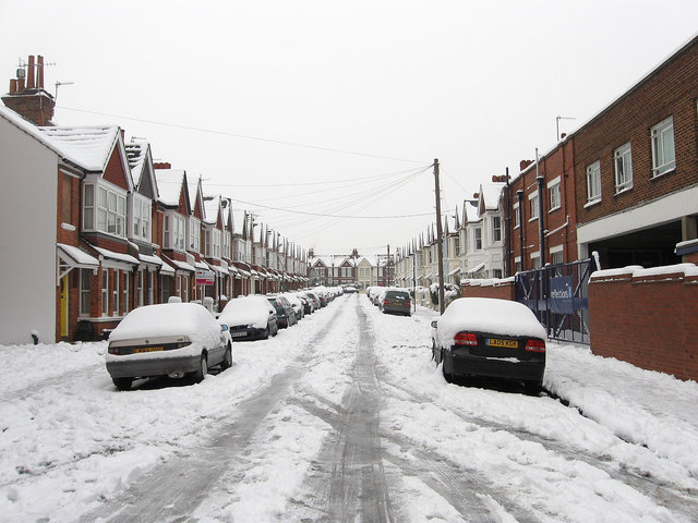
Image: © Simon Carey Taken: 2 Dec 2010
Residential road linking Portland Road to Montgomery Street. Part of the area known as Poets Corner due more to the street names than any affinity with the bohemian lifestyle. The whole area was developed from the 1880s onward.
Images are licensed for reuse under creativecommons.org/licenses/by-sa/2.0
Image Location
Latitude
50.834174
Longitude
-0.184106