Fishermen and rainbow at lake near Smorrall Lane, Bedworth
Introduction
The photograph on this page of Fishermen and rainbow at lake near Smorrall Lane, Bedworth by John Brightley as part of the Geograph project.
The Geograph project started in 2005 with the aim of publishing, organising and preserving representative images for every square kilometre of Great Britain, Ireland and the Isle of Man.

There are currently over 7.5m images from over 14,400 individuals and you can help contribute to the project by visiting https://www.geograph.org.uk
Fishermen and rainbow at lake near Smorrall Lane, Bedworth
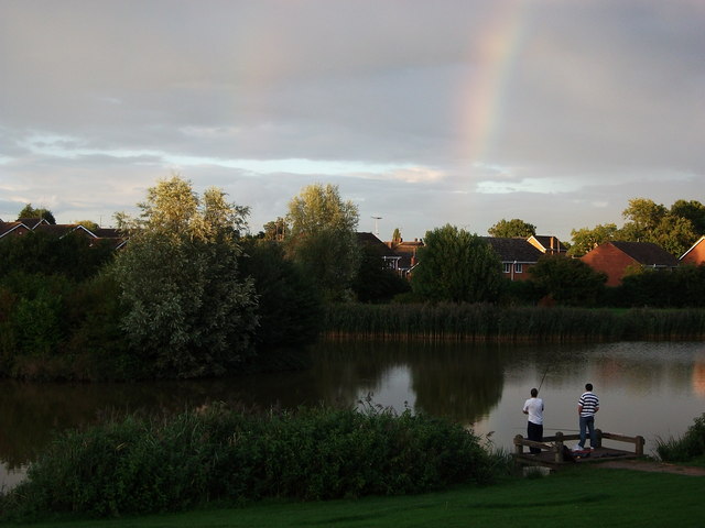
Image: © John Brightley Taken: 11 Sep 2010
The rear of houses in Silver Birch Avenue can be seen in the background. This area has changed significantly in the last twenty years. Up until the early 1970's there was just farmland, crossed by the branch railway to Newdigate Colliery. This ran on the near side of the boundary hedge to the properties in Silver Birch Avenue, which were built in the 1970's and 80's. The land in the foreground of the photo contained some railway sidings. The lake was not created until about 2000 as part of the new housing development adjacent which was built c.2000-2005. Virtually all the landscaping seen in this photo has grown up within the last 10 years.
Images are licensed for reuse under creativecommons.org/licenses/by-sa/2.0
Image Location
Latitude
52.474272
Longitude
-1.494689