Ham, Charlton Kings
Introduction
The photograph on this page of Ham, Charlton Kings by Philip Halling as part of the Geograph project.
The Geograph project started in 2005 with the aim of publishing, organising and preserving representative images for every square kilometre of Great Britain, Ireland and the Isle of Man.

There are currently over 7.5m images from over 14,400 individuals and you can help contribute to the project by visiting https://www.geograph.org.uk
Ham, Charlton Kings
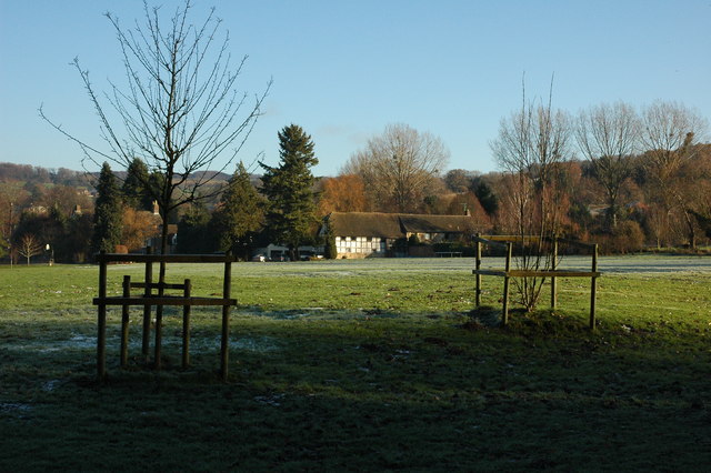
Image: © Philip Halling Taken: 5 Dec 2010
Ham is on the edge of Cheltenham and here it is viewed from a bridleway which is also the route of the 25 miles long Cheltenham Circular Footpath.
Images are licensed for reuse under creativecommons.org/licenses/by-sa/2.0
Image Location
Latitude
51.88836
Longitude
-2.038312