Houses on Fox Way
Introduction
The photograph on this page of Houses on Fox Way by Simon Carey as part of the Geograph project.
The Geograph project started in 2005 with the aim of publishing, organising and preserving representative images for every square kilometre of Great Britain, Ireland and the Isle of Man.

There are currently over 7.5m images from over 14,400 individuals and you can help contribute to the project by visiting https://www.geograph.org.uk
Houses on Fox Way
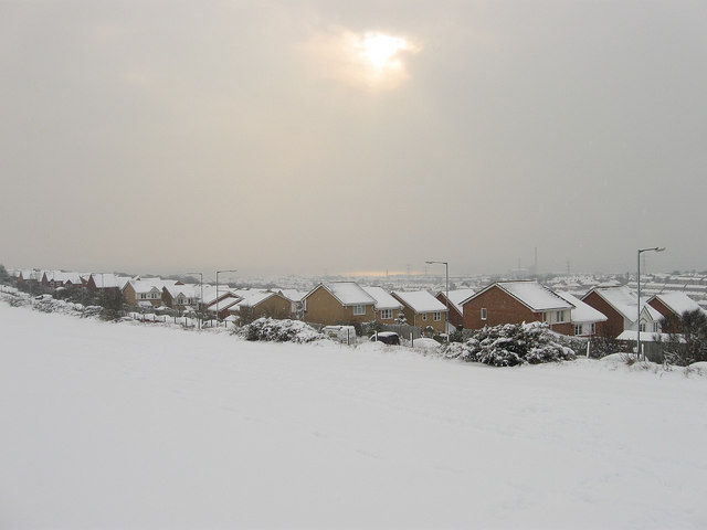
Image: © Simon Carey Taken: 2 Dec 2010
Viewed from a path that links the road with Foredown Road. The houses and road were built in the mid 1990s as a new access for Mile Oak via the Hangleton Link Road. The sun is making a brief appearance through the clouds and shining crimson on the sea in the distance.
Images are licensed for reuse under creativecommons.org/licenses/by-sa/2.0
Image Location
Latitude
50.850523
Longitude
-0.217851