Penygwryd and its Defences
Introduction
The photograph on this page of Penygwryd and its Defences by Eric Jones as part of the Geograph project.
The Geograph project started in 2005 with the aim of publishing, organising and preserving representative images for every square kilometre of Great Britain, Ireland and the Isle of Man.

There are currently over 7.5m images from over 14,400 individuals and you can help contribute to the project by visiting https://www.geograph.org.uk
Penygwryd and its Defences
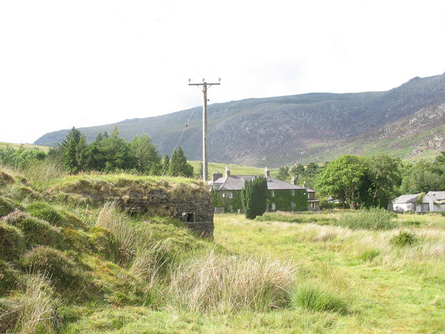
Image: © Eric Jones Taken: 13 Aug 2006
Situated at the junction of 3 passes, Penygwryd was chosen as a defensive point both by Roman and 20th century strategists. The WWII pillbox is built into the rampart of the Roman fort.
Images are licensed for reuse under creativecommons.org/licenses/by-sa/2.0
Image Location
Latitude
53.082556
Longitude
-4.002035