Chalky Road
Introduction
The photograph on this page of Chalky Road by Simon Carey as part of the Geograph project.
The Geograph project started in 2005 with the aim of publishing, organising and preserving representative images for every square kilometre of Great Britain, Ireland and the Isle of Man.

There are currently over 7.5m images from over 14,400 individuals and you can help contribute to the project by visiting https://www.geograph.org.uk
Chalky Road
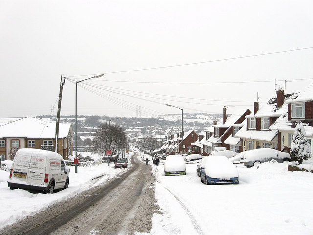
Image: © Simon Carey Taken: 2 Dec 2010
Developed from the 1960s to rehouse those moved from Portslade by Sea, the road originally began at the junction with Thornhill Rise before heading west to Mile Oak Road, but it now continues as Fox Way eastwards to join the Hangleton Link Road. Beyond the house on the left is Portslade Community College.
Images are licensed for reuse under creativecommons.org/licenses/by-sa/2.0
Image Location
Latitude
50.851765
Longitude
-0.222634