Mile Oak Farm
Introduction
The photograph on this page of Mile Oak Farm by Simon Carey as part of the Geograph project.
The Geograph project started in 2005 with the aim of publishing, organising and preserving representative images for every square kilometre of Great Britain, Ireland and the Isle of Man.

There are currently over 7.5m images from over 14,400 individuals and you can help contribute to the project by visiting https://www.geograph.org.uk
Mile Oak Farm
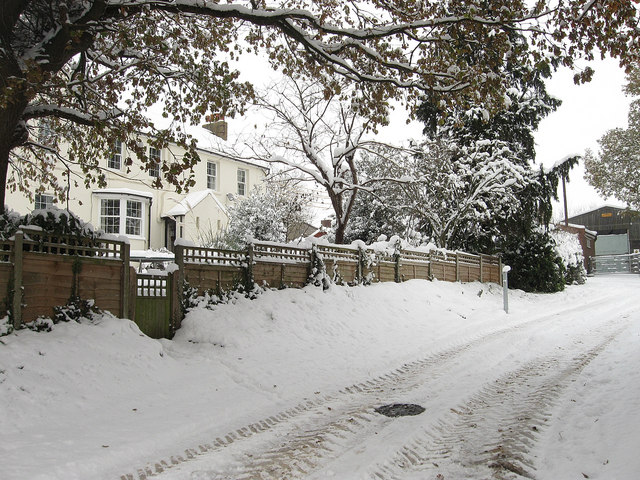
Image: © Simon Carey Taken: 2 Dec 2010
A view of the farmhouse from the Monarch's Way footpath. The house is not marked on the 1813 OS map but is marked as Mileoak Cottages on the 1879 one.
Images are licensed for reuse under creativecommons.org/licenses/by-sa/2.0
Image Location
Latitude
50.857906
Longitude
-0.236183