Holmbush Way
Introduction
The photograph on this page of Holmbush Way by Simon Carey as part of the Geograph project.
The Geograph project started in 2005 with the aim of publishing, organising and preserving representative images for every square kilometre of Great Britain, Ireland and the Isle of Man.

There are currently over 7.5m images from over 14,400 individuals and you can help contribute to the project by visiting https://www.geograph.org.uk
Holmbush Way
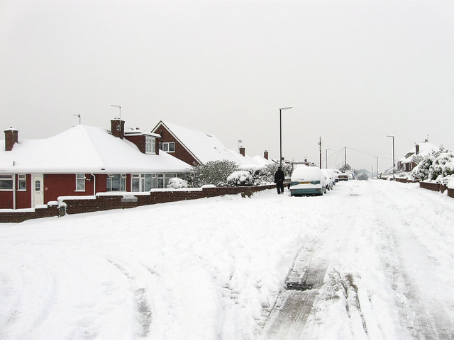
Image: © Simon Carey Taken: 2 Dec 2010
Residential road running between Overhill and Upper Kingston Lane. The road is on a bus route though not on this day after 8-10 inches of snow fell overnight.
Images are licensed for reuse under creativecommons.org/licenses/by-sa/2.0
Image Location
Latitude
50.843818
Longitude
-0.238277