Downland Avenue
Introduction
The photograph on this page of Downland Avenue by Simon Carey as part of the Geograph project.
The Geograph project started in 2005 with the aim of publishing, organising and preserving representative images for every square kilometre of Great Britain, Ireland and the Isle of Man.

There are currently over 7.5m images from over 14,400 individuals and you can help contribute to the project by visiting https://www.geograph.org.uk
Downland Avenue
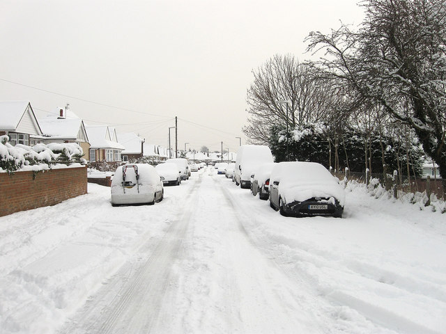
Image: © Simon Carey Taken: 2 Dec 2010
Residential road that runs parallel with Old Shoreham Road, the A270, between Upper Kingston Lane and Overhill. The section in view lies between the latter and The Drive.
Images are licensed for reuse under creativecommons.org/licenses/by-sa/2.0
Image Location
Latitude
50.84155
Longitude
-0.236942