Ivanhoe Way north of Bardon Hill
Introduction
The photograph on this page of Ivanhoe Way north of Bardon Hill by Trevor Rickard as part of the Geograph project.
The Geograph project started in 2005 with the aim of publishing, organising and preserving representative images for every square kilometre of Great Britain, Ireland and the Isle of Man.

There are currently over 7.5m images from over 14,400 individuals and you can help contribute to the project by visiting https://www.geograph.org.uk
Ivanhoe Way north of Bardon Hill
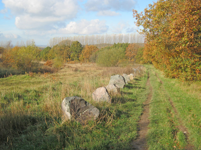
Image: © Trevor Rickard Taken: 6 Nov 2010
Heading north off the hill towards Agar Nook. The Ivanhoe Way is a 35-mile circular walk developed by Leicestershire County Council in 1994 to celebrate the centenary of civil parish councils. Well-waymarked like most public rights of way in Leicestershire, which in my experience is one of the best counties for looking after footpaths. http://www.leics.gov.uk/index/environment/countryside/walking/ivanhoeway.htm
Images are licensed for reuse under creativecommons.org/licenses/by-sa/2.0
Image Location
Latitude
52.719819
Longitude
-1.321157