Southwick Square
Introduction
The photograph on this page of Southwick Square by Simon Carey as part of the Geograph project.
The Geograph project started in 2005 with the aim of publishing, organising and preserving representative images for every square kilometre of Great Britain, Ireland and the Isle of Man.

There are currently over 7.5m images from over 14,400 individuals and you can help contribute to the project by visiting https://www.geograph.org.uk
Southwick Square
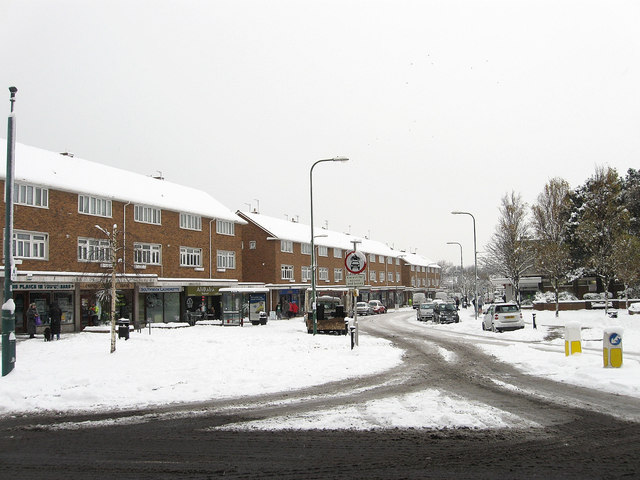
Image: © Simon Carey Taken: 2 Dec 2010
Running between Southwick Street and The Green, Southwick's main shopping street was purpose built in 1962 as part of a major regeneration scheme replacing the old shopping area which ran along Albion Street, the A259. The consequence was to move the centre of Southwick away from the seafront where it had shifted from the mid 19th century back to the medieval centre which lay surrounding The Green, the old village common. The 'square' itself is at the eastern end before narrowing to a conventional street as it heads west.
Images are licensed for reuse under creativecommons.org/licenses/by-sa/2.0
Image Location
Latitude
50.834246
Longitude
-0.235655