Watling Road
Introduction
The photograph on this page of Watling Road by Simon Carey as part of the Geograph project.
The Geograph project started in 2005 with the aim of publishing, organising and preserving representative images for every square kilometre of Great Britain, Ireland and the Isle of Man.

There are currently over 7.5m images from over 14,400 individuals and you can help contribute to the project by visiting https://www.geograph.org.uk
Watling Road
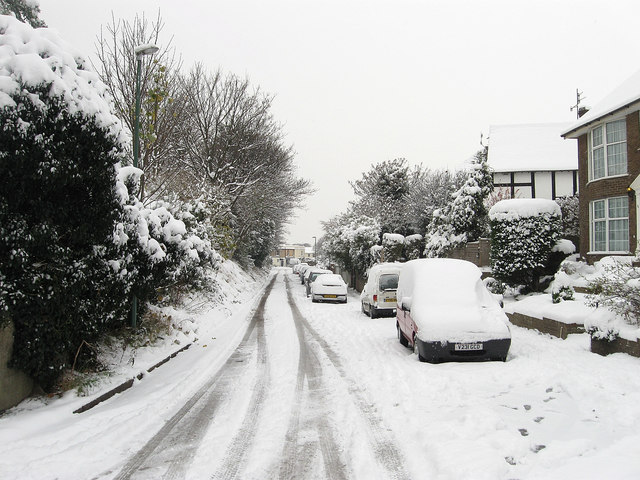
Image: © Simon Carey Taken: 2 Dec 2010
What looks like a side road is actually the B2167 as it leaves Station Road running next to the railway line before ending at the southern most point of The Green.
Images are licensed for reuse under creativecommons.org/licenses/by-sa/2.0
Image Location
Latitude
50.832906
Longitude
-0.236274