Whiterock Place
Introduction
The photograph on this page of Whiterock Place by Simon Carey as part of the Geograph project.
The Geograph project started in 2005 with the aim of publishing, organising and preserving representative images for every square kilometre of Great Britain, Ireland and the Isle of Man.

There are currently over 7.5m images from over 14,400 individuals and you can help contribute to the project by visiting https://www.geograph.org.uk
Whiterock Place
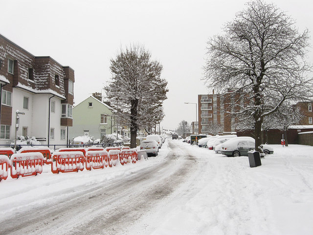
Image: © Simon Carey Taken: 2 Dec 2010
An old residential road dating from the 1850s when the area south of the railway was developed. Much of the original Victorian housing was cleared in the 1960s to make way for flats. The road itself begins at Station Road then changes its name to The Gardens at the junction with Colebrook Road and heads eastwards to join the A259 near Fishersgate.
Images are licensed for reuse under creativecommons.org/licenses/by-sa/2.0
Image Location
Latitude
50.832073
Longitude
-0.234743