North Canal Bank
Introduction
The photograph on this page of North Canal Bank by Simon Carey as part of the Geograph project.
The Geograph project started in 2005 with the aim of publishing, organising and preserving representative images for every square kilometre of Great Britain, Ireland and the Isle of Man.

There are currently over 7.5m images from over 14,400 individuals and you can help contribute to the project by visiting https://www.geograph.org.uk
North Canal Bank
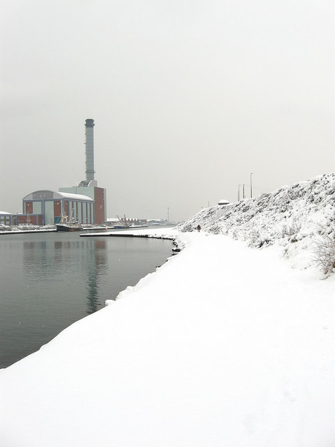
Image: © Simon Carey Taken: 2 Dec 2010
An undeveloped section of Shoreham Harbour opposite the power station that has public access via steps and path. Often used by anglers and dog walkers. Small low lying cliffs are on the right and are a survivor of what the coast from here to Brighton may have once looked like.
Images are licensed for reuse under creativecommons.org/licenses/by-sa/2.0
Image Location
Latitude
50.831245
Longitude
-0.227532