Turning Basin
Introduction
The photograph on this page of Turning Basin by Simon Carey as part of the Geograph project.
The Geograph project started in 2005 with the aim of publishing, organising and preserving representative images for every square kilometre of Great Britain, Ireland and the Isle of Man.

There are currently over 7.5m images from over 14,400 individuals and you can help contribute to the project by visiting https://www.geograph.org.uk
Turning Basin
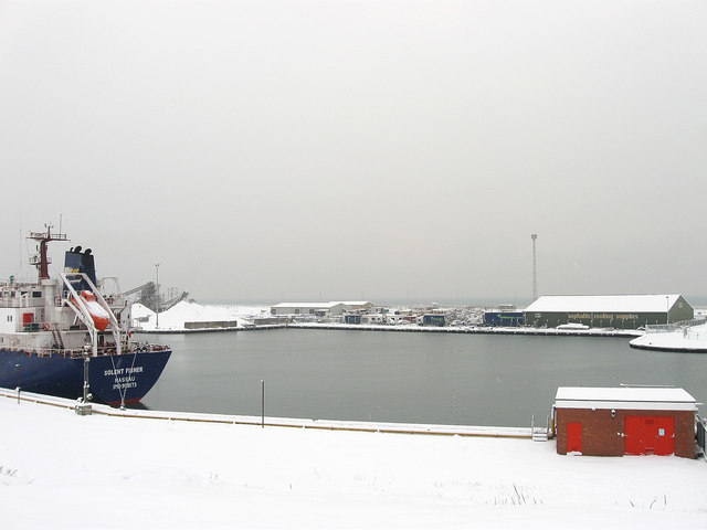
Image: © Simon Carey Taken: 2 Dec 2010
The section of The Canal that allows for ships to turn round before negotiating the lock to exit Shoreham Harbour. Texaco Wharf is in the foreground.
Images are licensed for reuse under creativecommons.org/licenses/by-sa/2.0
Image Location
Latitude
50.83109
Longitude
-0.223278