Bend in path at edge of M4 motorway
Introduction
The photograph on this page of Bend in path at edge of M4 motorway by Jaggery as part of the Geograph project.
The Geograph project started in 2005 with the aim of publishing, organising and preserving representative images for every square kilometre of Great Britain, Ireland and the Isle of Man.

There are currently over 7.5m images from over 14,400 individuals and you can help contribute to the project by visiting https://www.geograph.org.uk
Bend in path at edge of M4 motorway
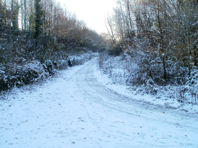
Image: © Jaggery Taken: 29 Nov 2010
A path which has followed the course of the disused Glamorganshire Canal http://www.geograph.org.uk/photo/2183232 makes a 90 degree turn at the edge of the embankment of an M4 motorway slip road. The slip road is part of a group of junctions known as the Coryton Interchange.
Images are licensed for reuse under creativecommons.org/licenses/by-sa/2.0
Image Location
Latitude
51.525748
Longitude
-3.249692