The B6359 at Dingleton
Introduction
The photograph on this page of The B6359 at Dingleton by Walter Baxter as part of the Geograph project.
The Geograph project started in 2005 with the aim of publishing, organising and preserving representative images for every square kilometre of Great Britain, Ireland and the Isle of Man.

There are currently over 7.5m images from over 14,400 individuals and you can help contribute to the project by visiting https://www.geograph.org.uk
The B6359 at Dingleton
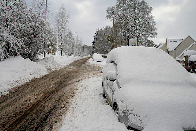
Image: © Walter Baxter Taken: 30 Nov 2010
Many cars have been abandoned due to adverse road conditions in the Scottish Borders after days of heavy snow. This is near the junction with the road into Harleyburn Court on the site of the former Dingleton Hospital on the right.
Images are licensed for reuse under creativecommons.org/licenses/by-sa/2.0
Image Location
Latitude
55.587924
Longitude
-2.729614