Old Mangotsfield Station
Introduction
The photograph on this page of Old Mangotsfield Station by Linda Bailey as part of the Geograph project.
The Geograph project started in 2005 with the aim of publishing, organising and preserving representative images for every square kilometre of Great Britain, Ireland and the Isle of Man.

There are currently over 7.5m images from over 14,400 individuals and you can help contribute to the project by visiting https://www.geograph.org.uk
Old Mangotsfield Station
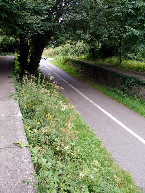
Image: © Linda Bailey Taken: 12 Aug 2006
The platforms still remain but its now the Bristol to Bath Cycle Path that passes through.
Images are licensed for reuse under creativecommons.org/licenses/by-sa/2.0
Image Location
Latitude
51.474762
Longitude
-2.483732