Lower Hayne
Introduction
The photograph on this page of Lower Hayne by Derek Harper as part of the Geograph project.
The Geograph project started in 2005 with the aim of publishing, organising and preserving representative images for every square kilometre of Great Britain, Ireland and the Isle of Man.

There are currently over 7.5m images from over 14,400 individuals and you can help contribute to the project by visiting https://www.geograph.org.uk
Lower Hayne
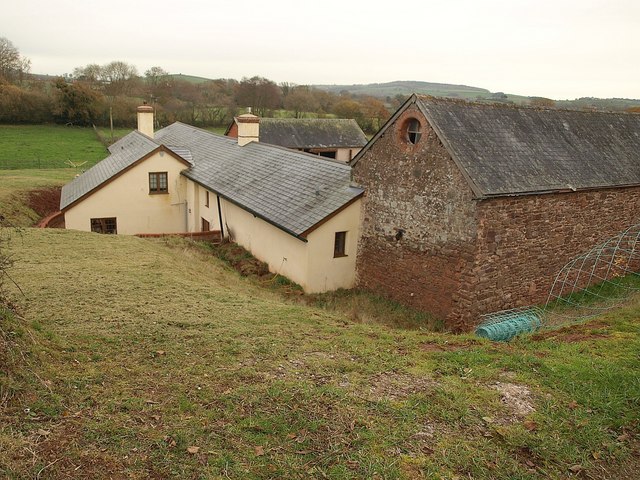
Image: © Derek Harper Taken: 26 Nov 2010
The farm, seen from Silverton Footpath 5, is tucked into the side of the Heal-eye stream valley.
Images are licensed for reuse under creativecommons.org/licenses/by-sa/2.0
Image Location
Latitude
50.805255
Longitude
-3.467518