Exmouth Drive
Introduction
The photograph on this page of Exmouth Drive by terry joyce as part of the Geograph project.
The Geograph project started in 2005 with the aim of publishing, organising and preserving representative images for every square kilometre of Great Britain, Ireland and the Isle of Man.

There are currently over 7.5m images from over 14,400 individuals and you can help contribute to the project by visiting https://www.geograph.org.uk
Exmouth Drive
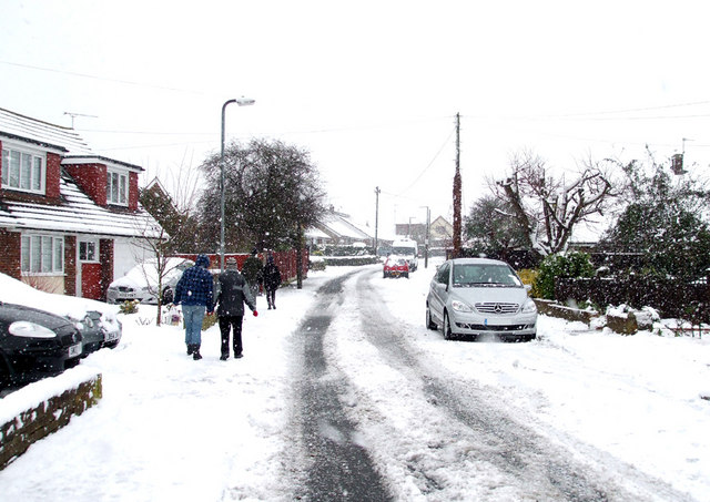
Image: © terry joyce Taken: 30 Nov 2010
This road is used as a cut through by locals as it links Rawreth Lane to Downhall Road via Teignmouth Drive. This avoids the junction of Rawreth Lane and Hullbridge Road which gets extremely congested at peak times.
Images are licensed for reuse under creativecommons.org/licenses/by-sa/2.0
Image Location
Latitude
51.600842
Longitude
0.606752