Road junction in Pratt's Bottom
Introduction
The photograph on this page of Road junction in Pratt's Bottom by David Anstiss as part of the Geograph project.
The Geograph project started in 2005 with the aim of publishing, organising and preserving representative images for every square kilometre of Great Britain, Ireland and the Isle of Man.

There are currently over 7.5m images from over 14,400 individuals and you can help contribute to the project by visiting https://www.geograph.org.uk
Road junction in Pratt's Bottom
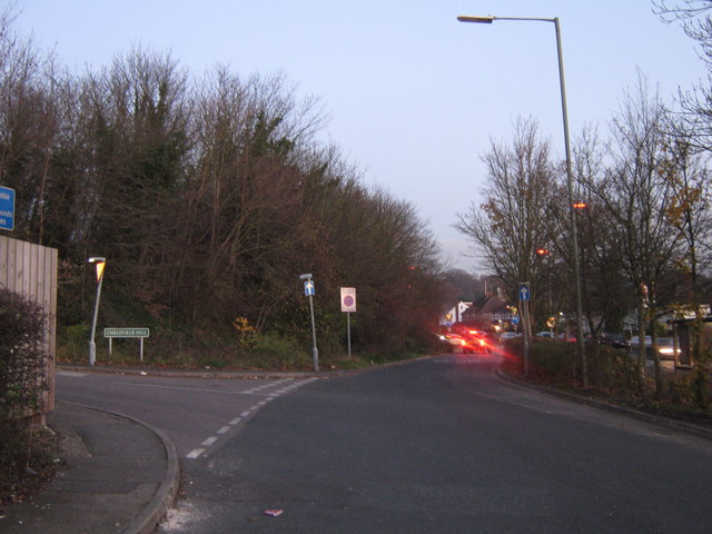
Image: © David Anstiss Taken: 27 Nov 2010
A lane leads from the A21 Sevenoaks Road (on the far right) to a Petrol filling station and then before it rejoins the A21, a lane (Chelsfield Hill) leads left towards Chelsfield. The A21 is very busy with Friday night traffic leaving Orpington and surrounds and heading towards the M25.
Images are licensed for reuse under creativecommons.org/licenses/by-sa/2.0
Image Location
Latitude
51.344662
Longitude
0.113563