Fairmile : Road Junction
Introduction
The photograph on this page of Fairmile : Road Junction by Lewis Clarke as part of the Geograph project.
The Geograph project started in 2005 with the aim of publishing, organising and preserving representative images for every square kilometre of Great Britain, Ireland and the Isle of Man.

There are currently over 7.5m images from over 14,400 individuals and you can help contribute to the project by visiting https://www.geograph.org.uk
Fairmile : Road Junction
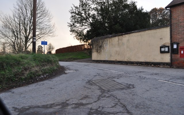
Image: © Lewis Clarke Taken: 28 Nov 2010
A turn off from the old A30 route down a country road leading towards Coombelake.
Images are licensed for reuse under creativecommons.org/licenses/by-sa/2.0
Image Location
Latitude
50.76658
Longitude
-3.295601