Hambro Avenue
Introduction
The photograph on this page of Hambro Avenue by terry joyce as part of the Geograph project.
The Geograph project started in 2005 with the aim of publishing, organising and preserving representative images for every square kilometre of Great Britain, Ireland and the Isle of Man.

There are currently over 7.5m images from over 14,400 individuals and you can help contribute to the project by visiting https://www.geograph.org.uk
Hambro Avenue
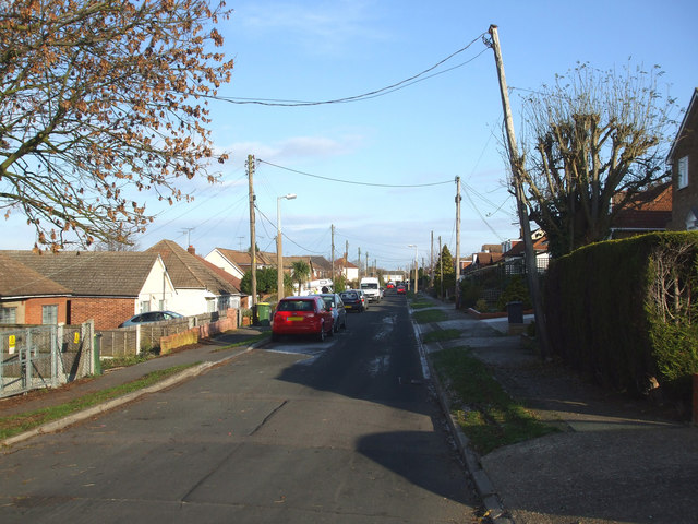
Image: © terry joyce Taken: 29 Nov 2010
This road links Hambro Hill with Downhall Road via Image It has approximately 50 properties of varying types, bungalows, houses, detached and semi detached.
Images are licensed for reuse under creativecommons.org/licenses/by-sa/2.0
Image Location
Latitude
51.597342
Longitude
0.61045