Boundary stone on the A58
Introduction
The photograph on this page of Boundary stone on the A58 by Humphrey Bolton as part of the Geograph project.
The Geograph project started in 2005 with the aim of publishing, organising and preserving representative images for every square kilometre of Great Britain, Ireland and the Isle of Man.

There are currently over 7.5m images from over 14,400 individuals and you can help contribute to the project by visiting https://www.geograph.org.uk
Boundary stone on the A58
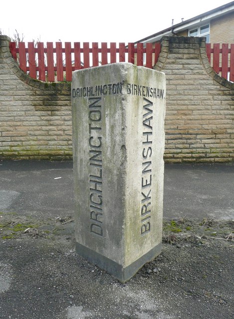
Image: © Humphrey Bolton Taken: 30 Mar 2010
Birkenshaw and Drighlington both had Urban District Councils until 1937, when they were absorbed by Spenborough and Morley respectively.
Images are licensed for reuse under creativecommons.org/licenses/by-sa/2.0
Image Location
Latitude
53.752423
Longitude
-1.673907