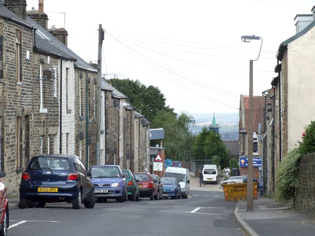
Bolehill Lane, Crookes
Introduction
The photograph on this page of Bolehill Lane, Crookes by Dave Hitchborne as part of the Geograph project.
The Geograph project started in 2005 with the aim of publishing, organising and preserving representative images for every square kilometre of Great Britain, Ireland and the Isle of Man.
There are currently over 7.5m images from over 14,400 individuals and you can help contribute to the project by visiting https://www.geograph.org.uk

Image: © Dave Hitchborne Taken: 26 Aug 2008
I lived on this street from 1945 until 1949, but the terraced house I lived in was demolished a long time ago, the reason why I may never know. It was demolished along with five other houses. As the houses were built at the top of the street and just above bedrock I'm tending to rule out subsidence, so it may have been due to a fire spreading through the roof spaces. Below is a glimpse of the former Crookes Congregational Church - http://www.geograph.org.uk/photo/1175483

