Bugbrooke RUFC
Introduction
The photograph on this page of Bugbrooke RUFC by Michael Trolove as part of the Geograph project.
The Geograph project started in 2005 with the aim of publishing, organising and preserving representative images for every square kilometre of Great Britain, Ireland and the Isle of Man.

There are currently over 7.5m images from over 14,400 individuals and you can help contribute to the project by visiting https://www.geograph.org.uk
Bugbrooke RUFC
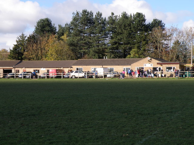
Image: © Michael Trolove Taken: 7 Nov 2010
Looking across the rugby pitch to the club house and changing rooms. The Bacon roll dispensary is to the right. Image
Images are licensed for reuse under creativecommons.org/licenses/by-sa/2.0
Image Location
Latitude
52.207646
Longitude
-1.003813