Roofs in Harbertonford
Introduction
The photograph on this page of Roofs in Harbertonford by Derek Harper as part of the Geograph project.
The Geograph project started in 2005 with the aim of publishing, organising and preserving representative images for every square kilometre of Great Britain, Ireland and the Isle of Man.

There are currently over 7.5m images from over 14,400 individuals and you can help contribute to the project by visiting https://www.geograph.org.uk
Roofs in Harbertonford
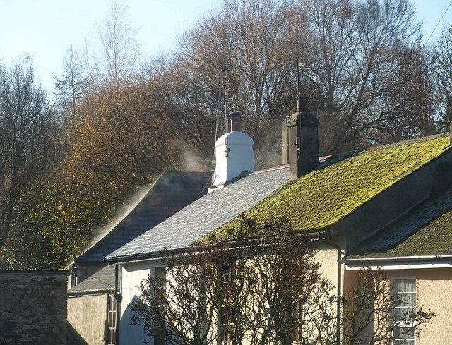
Image: © Derek Harper Taken: 25 Nov 2010
Steaming in the warm sunshine, these roofs are on houses in Brook Villas. Seen from the top deck of an X64 bus, bound for Kingsbridge.
Images are licensed for reuse under creativecommons.org/licenses/by-sa/2.0
Image Location
Latitude
50.391904
Longitude
-3.711891