Bryngwyn Crossroads, Tan-y-Coed
Introduction
The photograph on this page of Bryngwyn Crossroads, Tan-y-Coed by Eric Jones as part of the Geograph project.
The Geograph project started in 2005 with the aim of publishing, organising and preserving representative images for every square kilometre of Great Britain, Ireland and the Isle of Man.

There are currently over 7.5m images from over 14,400 individuals and you can help contribute to the project by visiting https://www.geograph.org.uk
Bryngwyn Crossroads, Tan-y-Coed
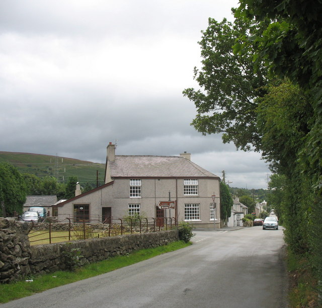
Image: © Eric Jones Taken: 11 Aug 2006
Bryngwyn Crossroads at the entrance to the linear village of Tan-y-Coed is dominated by the house and shop of Bryngwyn Bakery.The road left leads to Bryn Bras Castle and Brynteg Caravan Park.
Images are licensed for reuse under creativecommons.org/licenses/by-sa/2.0
Image Location
Latitude
53.142258
Longitude
-4.185735