Dripps Mill
Introduction
The photograph on this page of Dripps Mill by Kenneth Mallard as part of the Geograph project.
The Geograph project started in 2005 with the aim of publishing, organising and preserving representative images for every square kilometre of Great Britain, Ireland and the Isle of Man.

There are currently over 7.5m images from over 14,400 individuals and you can help contribute to the project by visiting https://www.geograph.org.uk
Dripps Mill
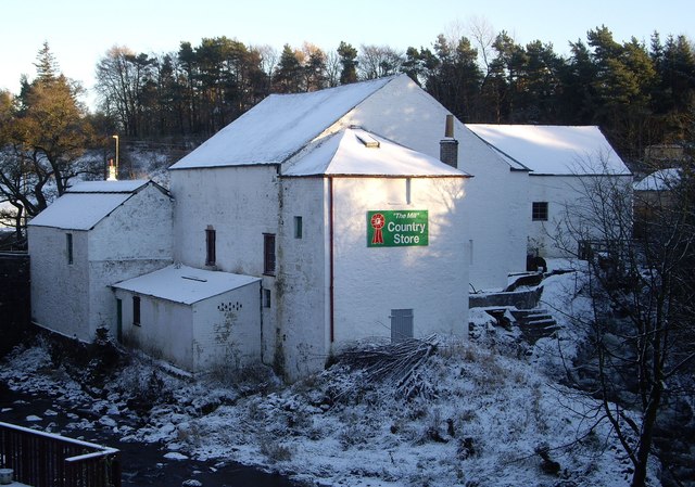
Image: © Kenneth Mallard Taken: 27 Nov 2010
Dripps Mill on the White Cart Water at Waterfoot was built in 1761. The mill has had several major extensions, the last being in 1918. Click on this http://www.geograph.org.uk/photo/2043149 for more information and another view of the mill.
Images are licensed for reuse under creativecommons.org/licenses/by-sa/2.0
Image Location
Latitude
55.769095
Longitude
-4.282116