Retaining wall and arches
Introduction
The photograph on this page of Retaining wall and arches by Oast House Archive as part of the Geograph project.
The Geograph project started in 2005 with the aim of publishing, organising and preserving representative images for every square kilometre of Great Britain, Ireland and the Isle of Man.

There are currently over 7.5m images from over 14,400 individuals and you can help contribute to the project by visiting https://www.geograph.org.uk
Retaining wall and arches
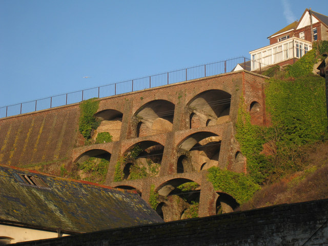
Image: © Oast House Archive Taken: 26 Nov 2010
A large brick retaining wall sits between West Hill Road at the top and Grosvenor Crescent and Caves below. At the end behind Caves Lane are these curious arches.
Images are licensed for reuse under creativecommons.org/licenses/by-sa/2.0
Image Location
Latitude
50.851436
Longitude
0.543138