Plague Monument, Winchester, Hampshire
Introduction
The photograph on this page of Plague Monument, Winchester, Hampshire by Peter Trimming as part of the Geograph project.
The Geograph project started in 2005 with the aim of publishing, organising and preserving representative images for every square kilometre of Great Britain, Ireland and the Isle of Man.

There are currently over 7.5m images from over 14,400 individuals and you can help contribute to the project by visiting https://www.geograph.org.uk
Plague Monument, Winchester, Hampshire
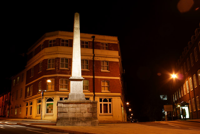
Image: © Peter Trimming Taken: 25 Nov 2010
The Plague Monument was erected by the Charitable Society of Natives in 1759 and was rebuilt in 1821 on the site of an earlier memorial to the plague of 1666. The monument is located on the junction of Upper High Street and Sussex Street.
Images are licensed for reuse under creativecommons.org/licenses/by-sa/2.0
Image Location
Latitude
51.064115
Longitude
-1.319674