The river Caen where it passes under the B3230
Introduction
The photograph on this page of The river Caen where it passes under the B3230 by Roger A Smith as part of the Geograph project.
The Geograph project started in 2005 with the aim of publishing, organising and preserving representative images for every square kilometre of Great Britain, Ireland and the Isle of Man.

There are currently over 7.5m images from over 14,400 individuals and you can help contribute to the project by visiting https://www.geograph.org.uk
The river Caen where it passes under the B3230
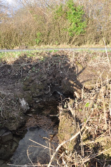
Image: © Roger A Smith Taken: 25 Nov 2010
There is another stream which passes under the road some 50 yards further north then joins the Caen in Stowford Plantation.
Images are licensed for reuse under creativecommons.org/licenses/by-sa/2.0
Image Location
Latitude
51.165216
Longitude
-4.089801