The Passmore Dulwich Library
Introduction
The photograph on this page of The Passmore Dulwich Library by David Anstiss as part of the Geograph project.
The Geograph project started in 2005 with the aim of publishing, organising and preserving representative images for every square kilometre of Great Britain, Ireland and the Isle of Man.

There are currently over 7.5m images from over 14,400 individuals and you can help contribute to the project by visiting https://www.geograph.org.uk
The Passmore Dulwich Library
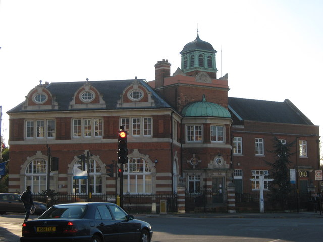
Image: © David Anstiss Taken: 26 Nov 2010
On the junction of the A2216 Lordship lane (in front) and Eynella Lane (on the right). See http://www.passmoreedwards.org.uk/pages/Libraries/Dulwich.htm for more information on this old library.
Images are licensed for reuse under creativecommons.org/licenses/by-sa/2.0
Image Location
Latitude
51.448974
Longitude
-0.073901