Roman road marker, Nightingale Lane
Introduction
The photograph on this page of Roman road marker, Nightingale Lane by Robin Webster as part of the Geograph project.
The Geograph project started in 2005 with the aim of publishing, organising and preserving representative images for every square kilometre of Great Britain, Ireland and the Isle of Man.

There are currently over 7.5m images from over 14,400 individuals and you can help contribute to the project by visiting https://www.geograph.org.uk
Roman road marker, Nightingale Lane
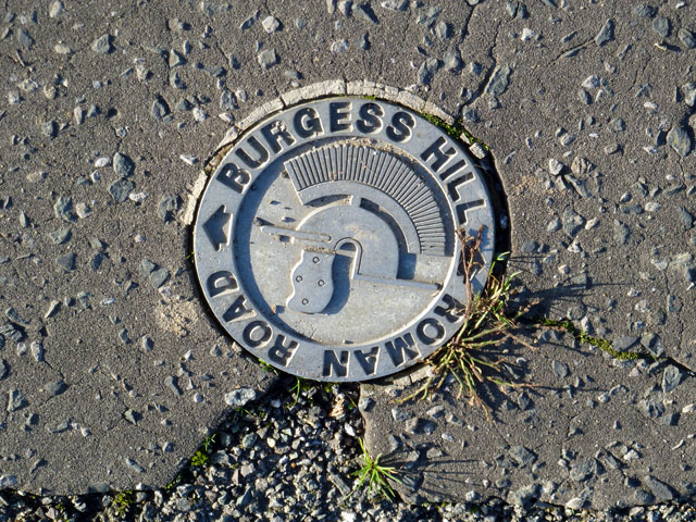
Image: © Robin Webster Taken: 26 Nov 2010
The short roughly north-south part of this road is on the alignment of Roman road 150. This marker is set in the pavement tarmac. There are others marking the line elsewhere in Burgess Hill.
Images are licensed for reuse under creativecommons.org/licenses/by-sa/2.0
Image Location
Latitude
50.946904
Longitude
-0.138859