Trig point and radio mast above Stroud
Introduction
The photograph on this page of Trig point and radio mast above Stroud by David Gruar as part of the Geograph project.
The Geograph project started in 2005 with the aim of publishing, organising and preserving representative images for every square kilometre of Great Britain, Ireland and the Isle of Man.

There are currently over 7.5m images from over 14,400 individuals and you can help contribute to the project by visiting https://www.geograph.org.uk
Trig point and radio mast above Stroud
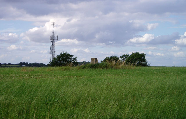
Image: © David Gruar Taken: 30 Jul 2006
Two structures taking advantage of the prominent ridge rising to the east of Stroud. The Bisley road, from which the photo was taken, also uses the ridge to gain the Cotswold plateau, where progress is easier than in the steep and narrow valleys
Images are licensed for reuse under creativecommons.org/licenses/by-sa/2.0
Image Location
Latitude
51.74625
Longitude
-2.186801